REMOTE SENSING
Are you looking to improve the productivity of your farm in a sustainable way? We offer a range of innovative, accessible, and affordable solutions to support your agricultural enterprise, whether you are a family-run small plot or a large-scale commercial farming operation.
Our market-leading sensing solutions enable real-time, in-field, and remote analysis of a large number of agrometeorological parameters, including temperature, light intensity, hydrology, and wind condition, as well as delivering key data on soil PH, conductivity, and greenhouse gas emissions.
Hexsor agritech is suitable for fixed installation, retrofitting into existing farm machinery, or UAV/drone deployment for precision agriculture. Our Hexsor Bespoke service also offers you custom-engineered solutions for more complex problems, allowing specification-led design around form factor, materiality, power source, and operating parameters, to ensure you meet your agricultural targets.
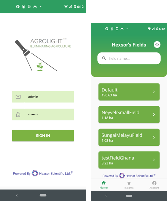
Agrolight
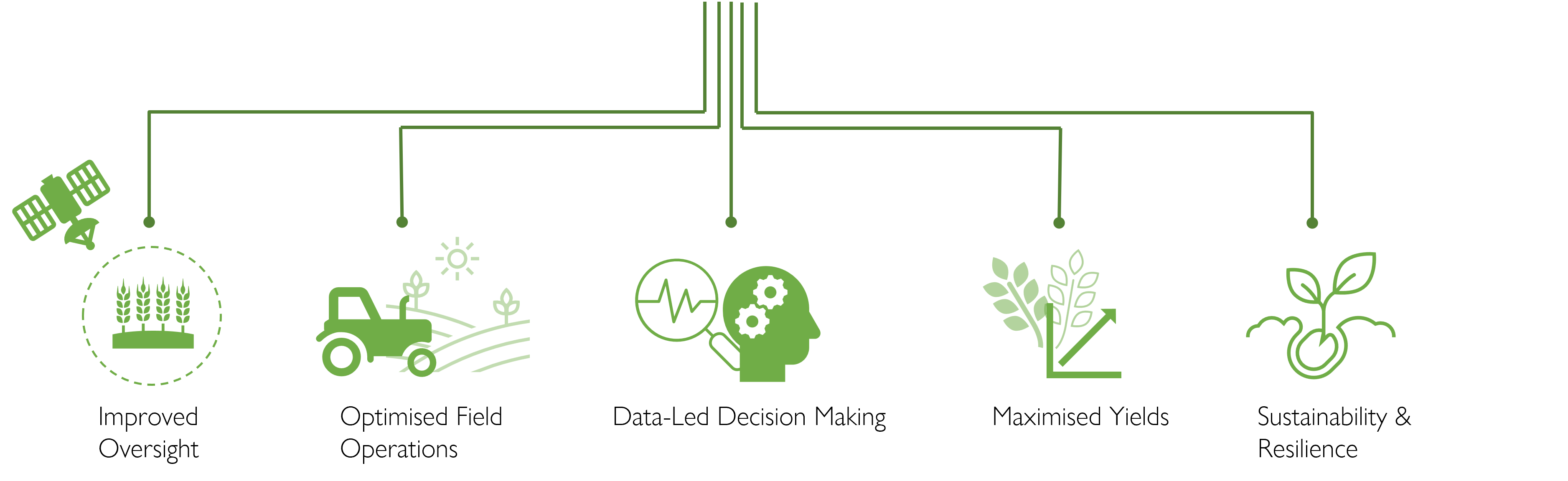
The Agrolight™ Crop Monitoring App provides a suite of tools to improve oversight, enhance productivity, reduce wastage, and support evidence-based decision-making and greater ecological and environmental responsibility at all stages of the farming cycle from sowing to harvest.
With high-frequency, high-resolution multispectral satellite imaging data delivered straight to your smart device, Agrolight™ lets you monitor growth rates and crop health from anywhere in the world, helping you to:
- rapidly adjust variable inputs, such as irrigation, fertilisers, and plant protection
- establish benchmarks
- detect crop stress
- isolate and tackle disease and infestation
- identify and mitigate erosion
- implement crop zonation and planning strategies
- forecast and maximise growth and yields
- improve productivity and profitability
Instant access to live and forecast hyperlocal meteorological data across your agricultural portfolio lets you overcome variability in weather patterns to identify localised weather windows for spray and fertiliser applications and harvesting, and track and mitigate emergent and adverse weather events, including flood and fire.
Free access to 2 months of archival satellite data allows analysis over the entire crop lifecycle, while the Insights knowledge and learning hub offers key information on crop types, their resource requirements, and critical pest and disease risks, to support novice entrants to the sector in building a sustainable agricultural strategy, or to facilitate diversification in response to local conditions.